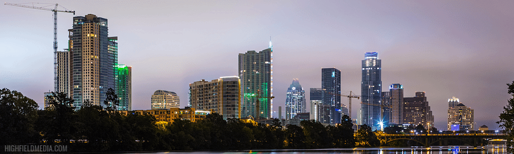
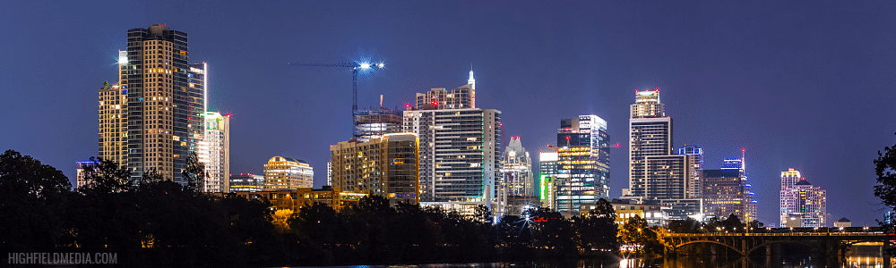
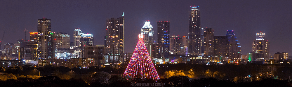
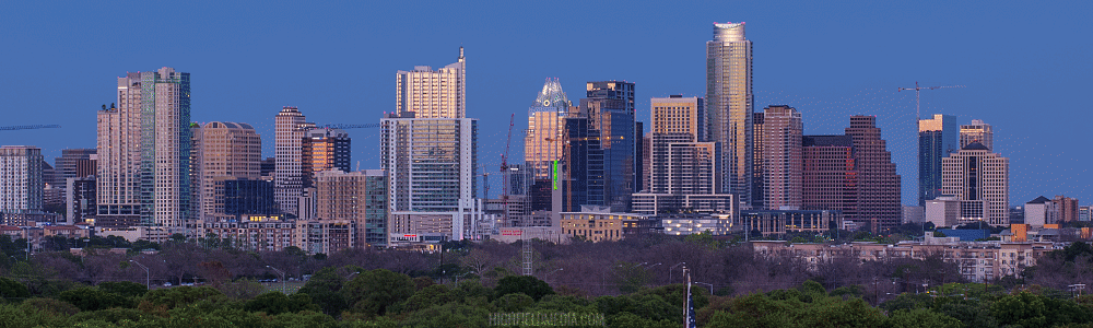
While putting together my most recent film, I spent some time re-shooting and processing old and new footage to see how the skyline has grown over the past 3-4 years. Here are some comparison gif files (use the slider to compare):
2014 vs. 2017, Pfluger Bridge
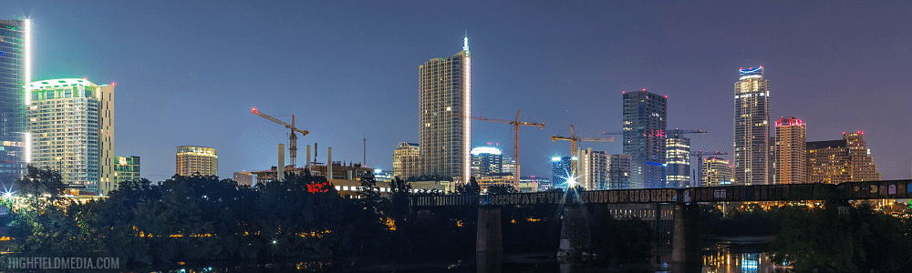
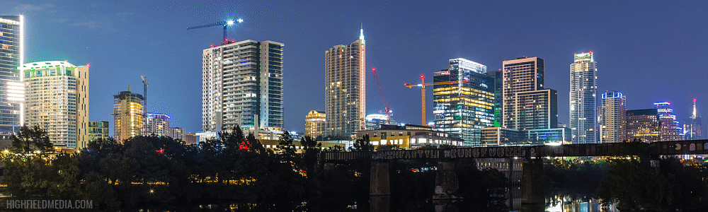
2013 vs. 2017 from Mopac/Bee Cave Rd
2014 vs. 2017 from Lou Neff Point